Connect the Connecticut
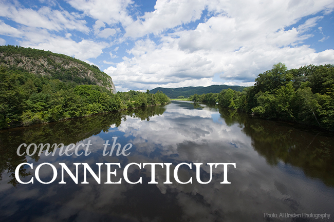 Connect the Connecticut is a collaborative effort to identify the best places to start: the areas within the watershed that partners agree are priorities for conservation to ensure that important species, habitats, and natural processes will be sustained into the future –– even in the face of climate and land use change.
Facilitated by the U.S. Fish and Wildlife Service (FWS) and supported by the North Atlantic Landscape Conservation Cooperative (LCC), a team of more than 30 partners from state and federal agencies and private organizations spent more than a year developing a conservation “design” for the watershed using the best available science. Outlining a network of core areas, or intact, connected, and resilient places within the watershed, the design serves as a roadmap for conservation. It includes a variety of datasets and tools people from all sectors can use voluntarily to make more informed decisions about managing lands and waters.
For complete details on this design project see: Landscape Conservation Design Technical Report provided by the University of Massachusetts. For guidance using the data, please see Appendix B
For more information, see the following websites:
Connect the Connecticut website:
http://connecttheconnecticut.org/
Background information on Connect the Connecticut project on NALCC website:
http://northatlanticlcc.org/groups/connecticut-river-watershed-pilot
